Sunday, February 13, 2011

Laurentian Ski Club

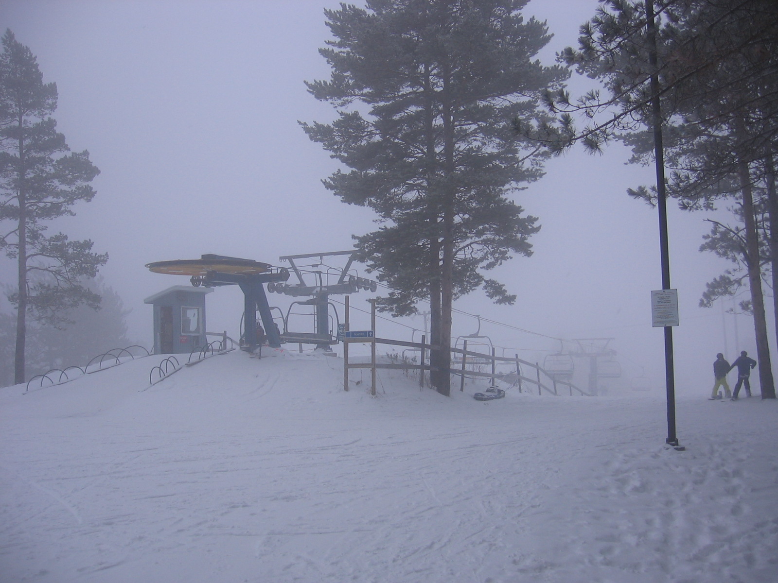
This has been a fantastic weekend.  The weather was awesome.  Today John and I headed to Laruentian Ski Club for a day of skiiing.  John had written on the refridgerator, "Bernie and John skiing Sunday."  So--there was the pressure--I had to do it.

We had taken lessons last year at Laurentian and thoroughly enjoyed every outing.  Today was my first ski of the year.  I was excited but a little apprehensive.  On the way to the hill I told John that it is just like riding a bike--you never forget.

Once I started down the main hill I realized I had forgotten.  I said to myself, "Am I supposed to be enjoying this?"  Yikes.  We quickly retreated to the bunny hill for a few "runs".  The fundamentals I and learned in my lessons returned and I was confident to head over to the main hill.  Lots of fun.  We ran in to Jarred Reid and he toured with us for awhile.  He showed us a cool route down the hill which included the run named after Steve Omischl.  We managed to take a couple people down when we disembarked from the chair lift.  I blame it on John--we were able to laugh this one off.

The weather was mild when we started at noon and it continued to get warmer as the day went on.  At one point it was snowing quite heavily but eventually the snow subsided and a fog rolled in.

The day was perfect.  John was a great ski companion.

Sunday, February 6, 2011

Third Bridge

The Third Bridge refers to the bridge from my Lower Duchesnay Falls post of a few weeks ago.  At that time, John and I were trying to get to the third bridge on the satelite photo after exploring the first two.  However, on that day, we both broke through the ice and had to postpone the attempt.  Today was different.

I got a call from Chris Beatty at about 12:10 pm--he was looking for an adventure.  I suggested a snow shoe hike.

We started with a trip to the local Canadian Tire store to pick up some shoes for Chris.

I like this hike because it is so conveniently close.  It is just of Main St. West within the city limits.  Within 20 metres of putting on your shoes--you're in beautiful wilderness.

Our trip started at point A on the map.  We crossed the beaver dam at point B.  The third bridge is point C and also the point where we both slid down the embankment.   D is the pump house we found on the bank of the river.  Point E is the easy access up out of the valley to the high ground.  Point F is the entrance to the factory, and Point G is the point where we descended back down to the creek and ended at A--where we started.

The snow was deep and there was a light snow fall at the beginning of the trip.  It was a mild day--about -3.


This is a beautiful area.  The terrain is rugged and the early part of the hike is steep and tricky.  We selected a beaver dam as the safest place to cross the water.

There was evidence throught the hike of an very active beaver.

After crossing the beaver dam we gradually climbed higher and eventually had do slide down to the creek bed to discover the Third Bridge.
The bridge has been unused for at least 25 - 30 years.  The fibre board factory which used the rail line has been closed since the mid 80's.

This line pole appears to have been installed in 1959--they don't put them up like this anymore--with the steps still on them.

As we crossed the bottom of the creek, we passed a pump house that probably fed the factory.

We climbed a gentle slope out of the valley and saw the factory from a distance.

As we walked towards the factory there was evidence of steel drums and old transformers on the ground.  Hard to believe that this has not been cleaned-up.  The photos speak for themselves.


I'm not sure what this machine (below) is, or what it did--but it had a warning sign I couldn't resist reading and recording.

The final leg of the hike took us back near the road, and we descended back down to water level and under the original two bridges near Lake Nipissing.

The hike took us about 2 hours.  Just long enough to need a coffee and a debrief at Twiggs.

Tuesday, February 1, 2011

Canadian Ecology Centre

This past weekent John and I joined my Nipissing University students at the Canadian Ecology Centre.  The weekend was the last over night field trip for the class which had started in September.  We are used to camping but the accommodations at the CEC are luxurious--so we enjoyed the outdoors and the indoors.


Our cabin #23 was nestled in the forest and the trees were heavy with snow.   We arrived in the afternoon and had time to settle in and unwind before joining the students for dinner.

The evening program centered around the campfire.  John was able to see how university students have fun.  There were a lot of games and songs around the fire.


On Saturday we started off on a snow shoe hike across the bridge spanning the Amable du Fond River.  The snow was deep and the scenery was beautiful.

After lunch two guest speakers joined our group.  The first was Dr. Mark Swain who spoke about balance in life and the importance of recognizing the the most important environment to care for is our own body, mind, and spirt.

Later that afternoon, Cliff Moulder, a retired science teacher demonstrated the ancient techniques for starting a fire.  John joined one of the student groups and together they practised starting fire from scratch.  Later John and I came third in the fire starting competition.

The evening program involved a late night snow shoe hike using night vision goggles.  Too cool.  We hiked down to the boad launch and howled for wolves.  The stars were out.  It was beautiful.


This was a very busy weekend and we were both tired by Sunday afternoon.  An awesome time with the fantastic Nip U students.

Sunday, January 16, 2011

Stormy Lake Lookout

Today was a bright sunny day and -23.  We had nothing on the agenda, so a snowshoe hike was planned to Restoule Provincial Park to check-out the Stormy Lake Lookout.  We had been here before Christmas without snow shoe and promised ourselves we would return.  So John and I packed a lunch and headed out around 1 pm.  We used mapper.acme.com to plot some gps points and print out a topo map--one large and one close-up of the area.

There was some ice on the back roads so I had to drive with care.  But we soon arrived at our destination.  You can see the cluster of markers on the map in Restoule Provincial Park.

We parked the van at the entrance to the park (marker F) and walked about 400 m down a road to the trail head (marker G).  There was a very sleight wind and my face started to freeze in the 10 mintute walk to the trail.  Once on the trail and in the trees we had only to contend with the -23 temperature.  I didn't know the direction of the trail--only that it eventually led to the fire tower (marker J)

The walk was beautiful.  The sun shone bright through the snow covered trees.  After about an hour we checked our location with the gps and our topo map.  We still were only about half way.  At this temperature I didn't want to take any chances getting lost or extending our hike beyond day light.  So we stopped for hot choc and a snack and John looked out over a cliff.

While hiking back to the van John heard the faint sound of a woodpecker.  He spotted it and we moved in closer to get some video and pictures.


Internet Photo of Pileated Woodpecker

We were able to get quite close and see that it was a Pileated woodpecker.  You can hear the sound he makes as he bores into the tree.

It is always cool to observe wildlife and not interfere with what they are doing.

Good spotting John!

The Restoule area is very scenic and beautiful.  We will be going back for sure.

Thursday, January 6, 2011

Promised Land Camp

This adventure happened a couple of nights ago and I'm just now getting around to recording what happened.  My good friend Bernie Zweerman along with his son Brandon and family friend Jason were visiting the area for some ice-fishing and they were staying at Promised Land Camp.
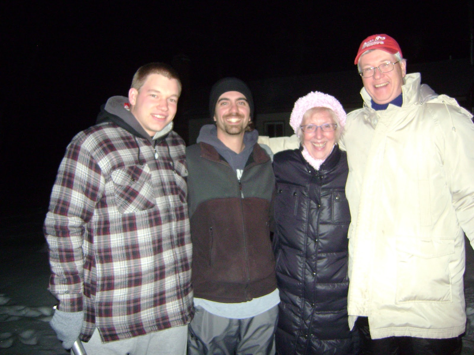
Brandon, Jason, Patty Ann, Bernie Z
 Marker B on the map shows the location of their cottage--number 4. A very nice cottage.


Patty Ann Dennis and I were invited for steak dinner at 7:30 pm.  PA brought a cake.  Thoughtful.

Promised Land Camp is about 30 km from North Bay.  The roads were clear and dark.  It was mild at about -3.  We arrived and enjoyed a terrific meal.  Jason was the chef on the BBQ and managed  4 different steak requests.  Nice work.  Medium-well for me.  I'm not really a big steak guy--having gout will do that to you.  However, it was delicious, along with mashed potatoes and green peas and Patty Ann's cake.
Bernie, Jason, and Brandon are all very knowledgeable about animals.  It was neat to listen to them talk about their own adventures with nature and animals.  Cool people.

"You want to see a deer carcass?" (WARNING: my son John suggested I put a warning regarding the video below.  It shows the remains of a deer after being partially eaten by wolves.

That's sort of the way it is with Bernie--if there is something unusual or incredible around he will find it.  Small things or big things it doesn't matter--everything about nature is fascinating to him.  He is a retired science teacher.  So after our meal, we all suited up and headed out in the darkness and onto the frozen surface of Lake Nipissing.  The remains of a deer were on the ice, marker A (17T 0613724, 5108666) on the map.  The distance between the deer carrion and the cottage was 230 m.  The wolves had taken this deer down close to shore, and very close to the cottage.

As we respectfully examined the remains it was hard to ignore the sheer beauty of the night.  The cloud cover had moved off and now millions of stars could be seen.  The big dipper was prominent.  The temperature had dropped about 9 degrees in 2 hours.

We heard a wolf howl in the distance.

Nature in all its beauty.

I was in awe.

Sunday, January 2, 2011

The Black Forest

We had no plan today. This was the last day of the holidays and the idea was to just chill and get ready for tomorrow. However, I got a call from Ralph Celentano and his friend Micheline. They were heading to their trailer on Shields Point Road near Rutherglen and invited us out for a snowshoe hike. So without a map or compass or even a lunch, we headed out for a quick hike.

The last couple of days have been mild and it rained quite a bit yesterday and last night. During the night the temp dropped and in the morning it was snowing. A beautiful return to winter for us.

We forgot that between rain and snow has to be ice. We found that about a 1 km from our destination. The road was glare ice under a 1 cm sprinkling of fluffy snow. When I spotted a hill with a sandbox to the side I decided to back our way out and change plans. The B on the topo map is our turn-around point, and A was our new location--The Black Forest.

I've been wanting to hike this area for a while. The last time we were in the area, I was in a canoe and John was in the kayak. I thought today we could walk around the the trails and make our way to the water.  There are a nice set of short trails and trail markers--so getting lost was not an issue.


Getting near the water was difficult as the forest near the water is quite thick.  We left the trail and headed to the sound of the running water.  John led the way.

 
A couple of times I had to find my own way because John picked a route over a few logs.  It was easy for him with his short snow shoes, but a little trickier for me.


This forest is managed by Henri Menard, a local environmentalist.  He has a company called Le Chantier 705 497-3046.  We met him at the beginning of our hike and he was obviously someone who cares about our forests and is enthusiastic about environmental awareness.  He asked John to tell his teacher about the forest and to bring his classmates back for a tour.